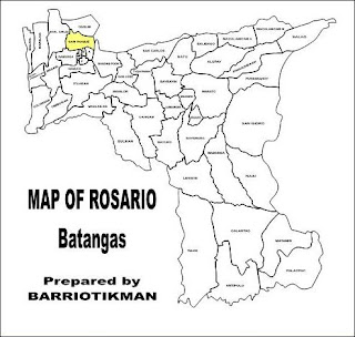
SAN ROQUE Rosario Batangas Philippines has an area of 203.1669 hectares and part of Lowland East Central VII-B
Barangay Cluster under the
Barangay Development Network of
Aksyon ng Bayan Rosario 2001 And Beyond Program.
| Year | | San Roque Projected Population |
| 2006 | 3,023 |
| 2007 | 3,093 |
| 2008 | 3,164 |
| 2009 | 3,237 |
| 2010 | 3,311 |
References
- Municipal Assesor's Office (1999), Impact Report, Municipality of Rosario, Batangas, Philippines
- Municipal Land Use Committee and the Office of the Municipal Planning and Development Coordinator (June 2000), Comprehensive Land Use Plan of Rosario, Batangas for Planning Period: 2000-2010, Municipality of Rosario, Batangas, Philippines
- Villar, Rodolfo G.; Quizon, Manuel Luis & Barbosa-Bianzon, Francia (1996) Minimum Basic Needs Baseline Survey Consolidated Report, Municipality of Rosario, Batangas, Philippines
Related Posts:


2 comments:
pano po pumunta jan sa san roque? and paano po pumunta sa beach from there? thank you po... im hoping for a reply...
sa amin ang mga beach s san juan,,taga san k g po???
Post a Comment