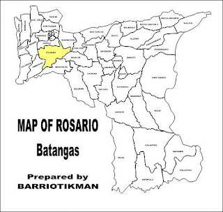
Itlugan Rosario Batangas Philippines has an area of 526.2145 hectares and part of Lowland West Central VI-B
Barangay Cluster under the
Barangay Development Network of
Aksyon ng Bayan Rosario 2001 And Beyond Program.
| Year | | Itlugan Projected Population |
| 2006 | 3,880 |
| 2007 | 3,970 |
| 2008 | 4,061 |
| 2009 | 4,154 |
| 2010 | 4,250 |
References
- Municipal Assesor's Office (1999), Impact Report, Municipality of Rosario, Batangas, Philippines
- Municipal Land Use Committee and the Office of the Municipal Planning and Development Coordinator (June 2000), Comprehensive Land Use Plan of Rosario, Batangas for Planning Period: 2000-2010, Municipality of Rosario, Batangas, Philippines
- Villar, Rodolfo G.; Quizon, Manuel Luis & Barbosa-Bianzon, Francia (1996) Minimum Basic Needs Baseline Survey Consolidated Report, Municipality of Rosario, Batangas, Philippines
Related Posts:


No comments:
Post a Comment